
Some coastlines around the world are known for their breathtaking beauty, with pristine beaches and vibrant ecosystems that draw millions of visitors each year. However, certain coastal regions are also prone to frequent storms, making them more susceptible to the destructive forces of nature. From hurricanes to typhoons, these areas face repeated weather threats that can affect both local communities and tourism. Despite their vulnerability to storms, these coastlines remain important for their natural beauty and ecological value.
Here are 11 coastlines around the world that face the harsh reality of repeated storm impacts. These areas endure multiple storms each year, with some regions becoming hotspots for powerful tropical systems. While their resilience in the face of adversity is commendable, travelers and residents alike must always be prepared for unpredictable weather patterns. Understanding the storm risks in these regions is crucial for anyone planning to visit or live along these coastlines.

Gulf Coast, United States
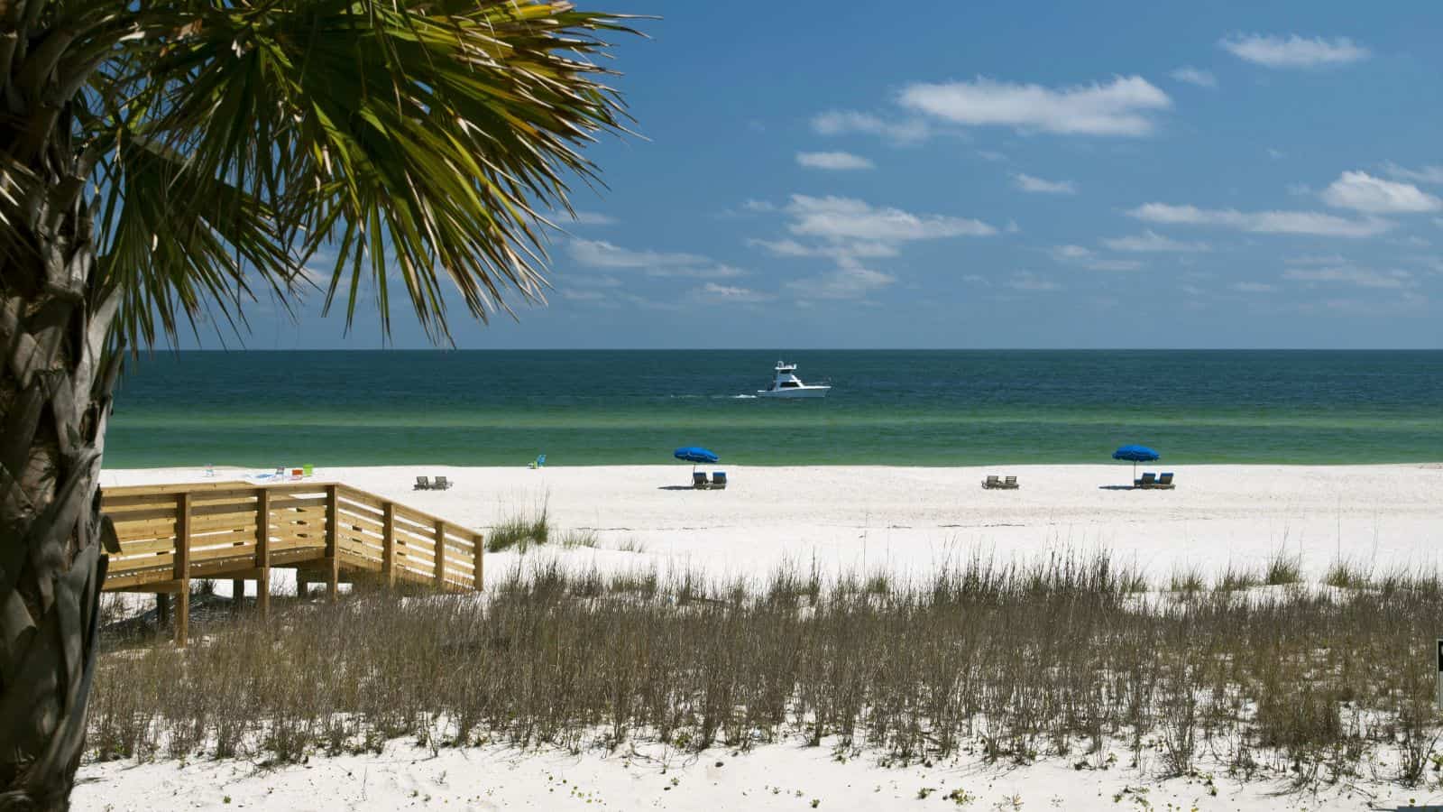
The Gulf Coast is hit by hurricanes almost every year, particularly between June and November. The warm waters of the Gulf of Mexico act like fuel, intensifying storms as they approach land. Cities like New Orleans, Houston, and Mobile face recurring threats from flooding, storm surge, and high winds. Hurricane Katrina, Harvey, and Ida caused billions in damage and massive displacement. The flat terrain and low elevation of the coast worsen the impact. Despite improvements in forecasting, infrastructure remains at risk, and residents often face repeated evacuations and recovery efforts as storms return season after season.
Eastern Philippines

Facing the open Pacific, the eastern seaboard of the Philippines is highly exposed to typhoons. Provinces like Samar, Leyte, and the Bicol Region often absorb the first impact when storms form and move west. Typhoon season spans much of the year, but peaks between July and October. The country experienced catastrophic losses during Super Typhoon Haiyan in 2013, which brought storm surges as high as buildings. Coastal communities here are often rural, with limited resources and infrastructure. Each year, lives and livelihoods are disrupted by heavy rains, flooding, and wind damage. Rebuilding efforts are constant due to repeated seasonal hits.
Bay of Bengal, India and Bangladesh

This region sees some of the deadliest tropical cyclones in modern history. Warm waters, shallow coastlines, and a funnel-shaped bay create perfect conditions for storm surge disasters. Bangladesh’s low elevation and dense population place millions at risk. India’s eastern states like Odisha and West Bengal also face repeated hits, with villages and farmlands regularly flooded. Cyclone Amphan in 2020 damaged thousands of homes and displaced millions. Despite advances in forecasting and shelter networks, economic vulnerability, poor infrastructure, and geography keep this region on edge during every monsoon and cyclone season. Even moderate storms can lead to large-scale disruption.
Eastern Seaboard, United States

From the Carolinas to Massachusetts, the eastern U.S. seaboard experiences regular storms that build in the Atlantic. Some hurricanes weaken before reaching this coastline, but others—like Hurricane Sandy in 2012—arrive with force, causing widespread damage. Older cities like New York and Boston face infrastructure challenges, especially when storm surges hit underground transit systems and dense housing. Coastal erosion, wind damage, and power outages are common. As ocean temperatures rise, storms may retain more strength farther north than in the past. Major population centers along the Atlantic coast remain exposed each hurricane season, despite decades of weather-proofing and public awareness campaigns.
Caribbean Islands (e.g., Puerto Rico, Bahamas, Dominica)

The Caribbean lies directly in the path of Atlantic hurricanes, especially between August and October. Small island nations and territories such as Puerto Rico, the Bahamas, and Dominica face severe impacts from even moderate-strength storms. Infrastructure is often fragile, with limited redundancy. Hurricane Maria in 2017 devastated Puerto Rico, wiping out power and clean water for months. Many islands rely on tourism, which takes a hit after every major storm. Recovery can be slow due to limited resources, and some communities still bear the scars of past disasters. Frequent exposure makes these coastlines among the most storm-tested in the world.
Eastern China (e.g., Guangdong, Fujian, Zhejiang)
Eastern China faces frequent typhoons that sweep in from the South China Sea and western Pacific. Cities like Guangzhou, Xiamen, and Shanghai experience heavy rain, flooding, and damaging winds multiple times each year. Dense urban populations and vast infrastructure networks make damage control difficult during peak storm season. Low-lying coastal zones are particularly vulnerable to storm surges, which can inundate roads, farmland, and homes. Typhoon Mangkhut in 2018 caused massive destruction across the region. While China has invested heavily in barriers and emergency systems, the sheer scale of coastal development keeps this stretch at risk every storm season.
Want to save this?
Queensland Coast, Australia

Northern Queensland is hit by tropical cyclones nearly every year between November and April. The stretch between Cairns and Townsville often experiences heavy wind, flash flooding, and destruction of homes and crops. The warm Coral Sea helps fuel storm intensity, with cyclones like Yasi (2011) and Larry (2006) leaving widespread damage. Rural and Indigenous communities can be cut off for days due to flooded roads or damaged communication lines. Power outages and recovery delays are common. Despite emergency preparation efforts, repeated exposure and changing climate conditions make this coastline one of Australia’s most storm-prone regions.
Japan’s Pacific Coast (e.g., Shizuoka, Tokyo, Okinawa)

Japan’s Pacific-facing coastline experiences multiple typhoons annually, especially from late summer to early fall. Cities like Tokyo and Shizuoka are exposed to both direct hits and indirect effects like flooding and landslides. Okinawa, farther south, often faces the full strength of storms before they weaken. Japan’s mountainous terrain contributes to mudslides, which compound damage. Despite excellent forecasting and early warning systems, damage to roads, railways, and rural areas is common. The country responds quickly to disasters, but regular typhoon landfalls continue to test infrastructure and emergency protocols across densely populated regions.
Vietnam’s Central Coast (e.g., Da Nang, Hue)

Vietnam’s central coast lies in a frequent typhoon path, absorbing storms that move west from the Pacific. Cities like Da Nang and Hue often face strong winds, high rainfall, and storm surge during typhoon season, which peaks from September to November. Heavy flooding damages rice fields, roads, and homes, while mountainous inland areas experience landslides. Many communities rely on fishing and agriculture, industries that are highly vulnerable to weather shifts. Recovery is often slowed by limited resources. Despite growing storm awareness and early warnings, repeated exposure continues to threaten infrastructure, food supplies, and public safety year after year.
Mozambique Channel, Southeast Africa

The stretch of coastline along Mozambique, Madagascar, and parts of Tanzania is struck by strong cyclones nearly every year during the Southwest Indian Ocean cyclone season. Cyclone Idai in 2019 and Freddy in 2023 were among the most destructive, displacing hundreds of thousands and destroying villages. Coastal cities like Beira face storm surges, collapsed infrastructure, and limited emergency access. Poor housing, deforestation, and weak drainage systems worsen the effects of each storm. While international aid often follows major events, local recovery remains slow. Rebuilding efforts compete with frequent setbacks, making resilience difficult to maintain across this storm-exposed region.
Yucatán Peninsula, Mexico

Surrounded by the Caribbean Sea and Gulf of Mexico, the Yucatán Peninsula is in a high-risk zone for hurricanes and tropical storms. Cities like Cancún and Mérida, along with the Riviera Maya, are frequently affected by heavy rain, wind, and coastal flooding. Flat terrain and growing urban development add to the risk of widespread damage. Infrastructure in some towns struggles under repeated stress, especially in rural areas. Hurricane Wilma (2005) caused prolonged flooding and power loss, a pattern repeated in more recent storms. Despite modern hotels and alert systems, seasonal threats remain a serious concern across the region.
10 Travel Trends That Do More Damage Than Good

Did you know that some travel trends are harmful? Popular travel habits can shape the way people explore the world, but there are ten travel trends that do more damage than good. While some may seem appealing or convenient, they can negatively affect local communities, the environment, and even travelers. Understanding the impact of these trends is crucial for making informed decisions that promote responsible and sustainable travel.
Read More Here: 10 Travel Trends That Do More Damage Than Good
10 Places in the US You Didn't Know Were Iconic Movie Sets

Interesting information about places in the U.S! When you think of iconic movie sets, you might picture famous landmarks like the Eiffel Tower or Times Square. But what if I told you that some of the most memorable scenes were filmed in places you wouldn't expect? Across the United States, there are hidden gems that have played a significant role in your favorite films. These locations might not be on your radar, yet they have hosted some of the most unforgettable moments in cinema history.
Read More Here: 10 Places in the US You Didn't Know Were Iconic Movie Sets


Leave a Reply